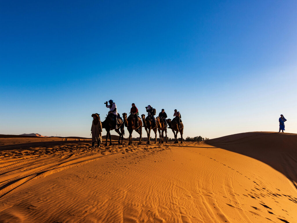
A national mapping agency in Morocco collaborated with RMSI to assess the country’s exposure to natural hazards and develop a national-level disaster risk management and financing strategy. The project focused on quantifying risks from floods, earthquakes, tsunamis, droughts, and landslides—laying the groundwork for a long-term, data-driven resilience roadmap.
The Challenge
The government of Morocco needed a way to quantify risk, evaluate “what-if” scenarios, and define a national strategy rooted in data. Morocco faces diverse and recurring natural hazards and requires a unified framework to understand the scale of potential economic losses to assess the assets at risk.
Key challenges included:
Limited probabilistic models to simulate multi-hazard risks
Fragmented exposure data across sectors
Absence of a common platform to evaluate mitigation trade-offs
The Solution
The team deployed a multidisciplinary methodology that blended geospatial intelligence, environmental modeling, and economic simulation.
The project combined advanced risk modeling techniques to simulate the likelihood and impact of natural hazard events, ranging from frequent floods to rare but severe tsunamis, with detailed exposure assessment in assets including infrastructure, utilities, and public services.
Through vulnerability and loss estimation, custom damage curves were developed to quantify direct and indirect economic losses, helping visualise the impact across sectors.
To evaluate broader consequences, economic modeling using input-output and computable general equilibrium (CGE) frameworks was used to assess how hazard events could disrupt livelihoods and national productivity.
A custom-built GIS software enabled dynamic risk visualisation and scenario testing, empowering government stakeholders with actionable insights.
These findings were translated into a national strategy development framework, outlining cost-effective, prioritised mitigation options to strengthen Morocco’s disaster resilience.
Tech Stack
GCS
Vertek
Looker Studio
GCP bigQuerry
The Impact
The project gave the government a clear picture of its disaster risks and helped spotlight where investments would make the most difference, like in schools, hospitals, and flood zones. A custom GIS tool now supports day-to-day planning and response. Most importantly, it kickstarted a long-term shift toward building risk reduction into national development.