A leading electric transmission and distribution (T&D) company was struggling with slow, manual vegetation management across its vast network. To modernize this process, RMSI implemented a high-precision, technology-first solution using GIS and LiDAR, replacing traditional field surveys with automated, data-rich insights. Through 360° imagery and colorized LiDAR scans, RMSI created a detailed asset inventory, identified high-risk vegetation zones, and mapped encroachments.
The Challenge
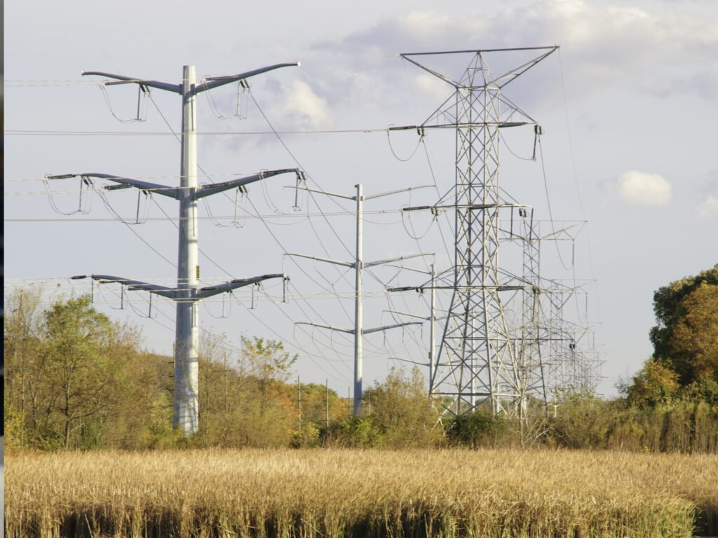
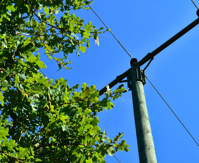
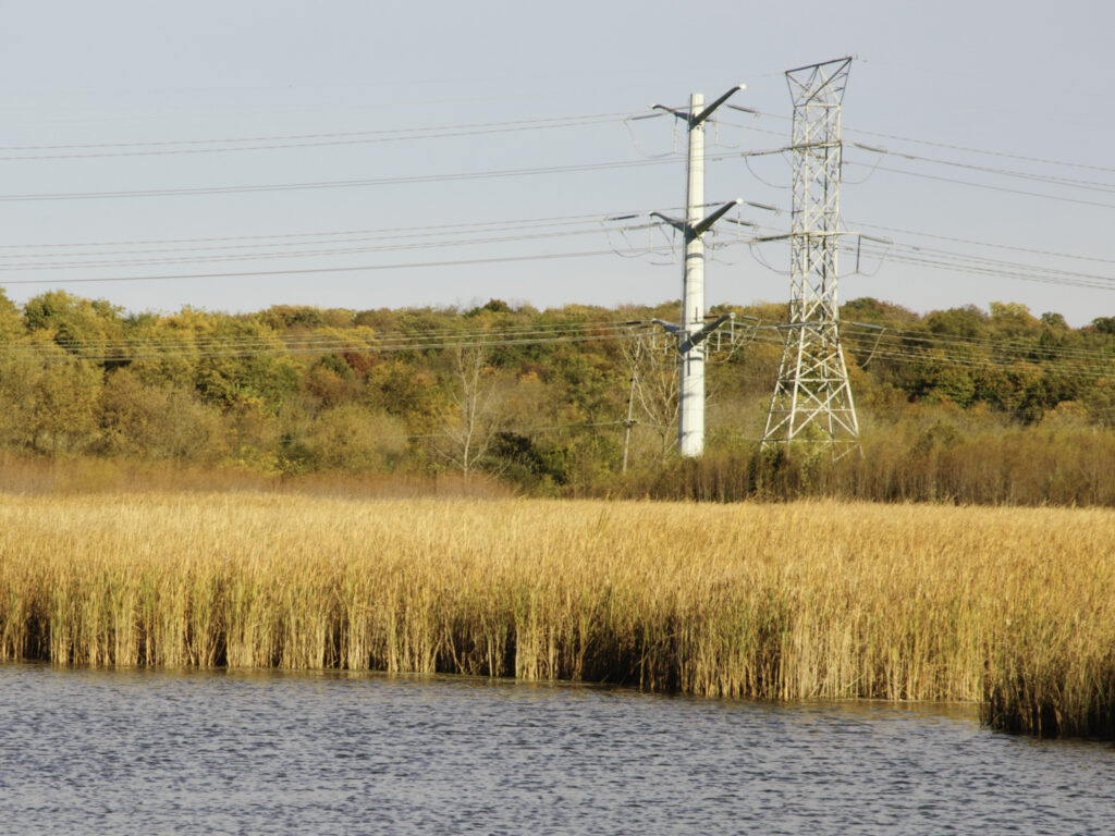
Managing vegetation across thousands of miles of network was a slow and tiring process that relied heavily on manual field surveys. Crews had to physically inspect long stretches of land to spot any vegetation growing too close to the network, which often meant delays, missed areas, and inconsistent data. What made things more difficult was the lack of clear information about how serious the encroachment was or how dense and risky the vegetation might be. Without these details, it was hard to plan ahead or use technology to make the process smoother and more accurate.
The Solution
To overcome the limitations of manual surveying, RMSI implemented a smarter, technology-led approach that brought speed, accuracy, and safety to the process:
Used GIS and colorized LiDAR point clouds to quickly and safely identify vegetation encroachments across large areas, eliminating the need for physical surveys.
Captured 360° imagery and LiDAR data along overhead distribution lines, prioritizing zones based on risk and potential threat levels.
Built a detailed inventory of roadside and utility assets, including poles, local roads, and urban structures, to confirm exact locations and assess current conditions.
Performed data analytics to extract poles and conductors along with their critical attributes, ensuring a comprehensive understanding of the network.
Automated the detection of vegetation encroachments, assessing both proximity to conductors and potential fire risk through ground FLR.
Previous
Next
The Impact
For the client, RMSI successfully extracted and analyzed data across approximately 27,000 miles of network, identifying areas where vegetation posed a high fire risk. By generating fine-grained data points at every 3 feet, we could map risk levels along each span with remarkable detail. This approach not only enhanced the accuracy of vegetation risk assessments, but also streamlined asset inventory, helping the client stay aligned with compliance and reporting standards.
To support the client, RMSI scaled up a dedicated team of data analysts, ensuring timely project delivery while boosting the efficiency of field operations through better planning and targeted interventions.