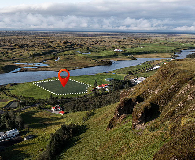
The registrar of property transactions in Ireland maintains the land records within the state. Through the project, the client intends to implement a digital mapping system that is capable of efficiently load, store, update, and deliver large scale data along with digitised land parcel information. The client needed support and information for processing applications for registration and related services, making the casework project effective and reduce transaction and handling times. RMSI partnered with the client and captured boundaries of all land parcels using various input data.
The Challenge
Several challenges came up during the project, starting with the rapid ramp-up and training of a large team to meet tight timelines. Establishing streamlined processes and systems from the outset was critical to ensure consistency and accuracy at scale. The use of multiple input datasets, each with varying formats and quality, added another layer of complexity. Additionally, the data capture process was governed by intricate business rules that required careful interpretation and implementation, demanding a high level of precision and domain understanding from the team.
The Solutions
RMSI deployed a team of GIS professionals with expertise in complex data conversion projects, application development, and workflow management systems. This application facilitated the capture of land parcels through the automated input of data and imagery. We developed an efficient interface on AutoCAD for geo-referencing the scanned land registry maps, dividing the project into two phases.
In the first phase, we created seed points for approximately 2.4 million land parcels, encompassing 1.6 folios across all 26 countries in Ireland. In the second phase, we captured land parcel boundaries of the countries using various data inputs, including land registry maps, geo-directory data, image folios, and registration information. We also assigned the required attributes to the land parcels. Additionally, to address and resolve the client’s queries, a Query Management System was set up. The processes and systems were streamlined to ensure consistency and accuracy.
Tech Stack
Oracle 10G
ArcGIS 9.0
AutoCAD Map 2005
ASP,. Net, VC++, Arx, Lisp
The Impact
A comprehensive GIS dataset was delivered at the end of the project, covering all registered land parcels across Ireland’s 26 counties. This dataset was integrated into a newly developed software system, replacing outdated paper maps and removing the inefficiencies of manual discrepancy marking. The streamlined digital workflow enabled faster issue resolution and significantly improved the accuracy and speed of land-related decision-making.