Our client, one of the top universities in Europe partnered with RMSI to support a global research project focused on tracking changes in land use and land cover (LULC). The goal was to analyze satellite images for 75 locations around the world and label them into specific land cover categories. These labelled images would help them train machine learning models for studying environmental changes.
The Challenge
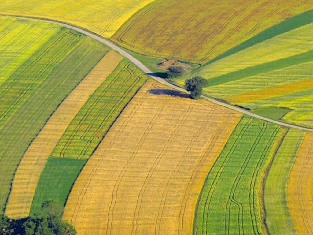
The university needed detailed and accurate labelling of medium-resolution satellite imagery to detect how land cover had changed over time at each location. Each site had a time series of 24 images, taken between 2018 and 2019. The challenge was to identify changes clearly across all images, despite the medium resolution, and provide consistent, high-quality data that could directly support machine learning applications.
The Solution
RMSI carried out a step-by-step analysis to extract land cover information and track changes across all images. Land cover features were first mapped manually from the earliest image using visual interpretation in ArcGIS. These features were then checked against the next images in the series and updated only when visible changes were found. In cases where it was difficult to confirm details such as buildings or roads, higher resolution images from third-party sources were used for clarity. Every feature was carefully reviewed for accuracy, with 100% manual quality checks to ensure correctness. The final data was delivered in both raster and vector formats, ready for direct use in machine learning.
Tech Stack
ArcGIS
AWS
Automatic validation tools
The Impact
The university received precise and reliable data that met their research needs. The high-quality labelling helped them train machine learning models more effectively, supporting their efforts in global environmental monitoring and change detection.