The client is a State government body in India that aims to minimize the impact of natural disasters, analyze and study the reasons for natural disasters, suggest solutions to avoid or minimize these, and to provide relief for losses incurred due to natural disasters
The Challenge
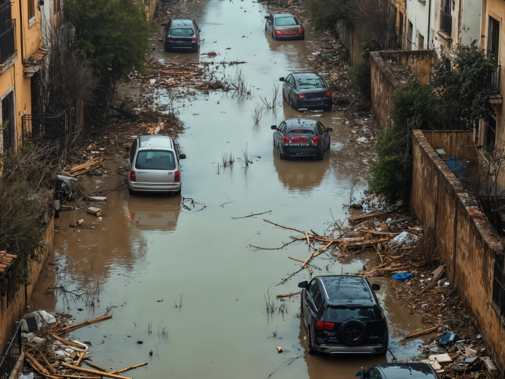
The client wanted to undertake a micro-level flood vulnerability assessment study of four major cities of Gujarat up to the ward level – Ahmedabad, Vadodara, Surat and Rajkot.
The study was to provide the client with a set of recommendations to help reduce or eliminate flooding vulnerability risks within the study areas.
The Solution
The project was sequentially sub divided into the following key activities:
Rainfall Analysis: Extreme rainfall identification, calculation of average rainfalls over a basin, probability distributions of extreme rainfalls, probable maximum precipitation estimations, derivation of depth-area-duration curves, depth-duration-frequency curves and design rainfall estimation Runoff Estimation: Hydrological model setup, calibration and validation of historical events, estimation of design runoff Flood Wave Propagation: Hydraulic model setup for flood wave propagation, one-dimensional un-steady flow analysis, calibration of flood levels and water level simulations for design runoffs Derivation of Flood Extents: Derivation of flood extent and flood depths within a GIS environment Vulnerability and Risk Analysis: Identification of various exposures at risk, estimation of looses for residential, infrastructures, derivation of vulnerability and risk maps at ward level resolution
Tech Stack
HEC- HMS, HEC-RAS
PMF
Dam break studio assessment
High-res imagery
The Impact
The vulnerability study helped in identifying areas where mitigation measures should be taken to minimize losses due to floods. RMSI’s experts made recommendations on revision of reservoir operating rules, structural mitigation measures and expanding prevalent forecasting model to include State level rainfall gauging stations