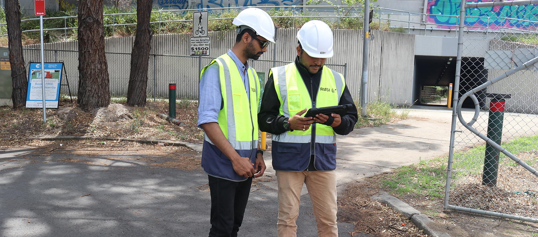
Enables real-time digital data collection for field crews, enhancing efficiency
Offers customizable data inputs tailored to specific project design needs
Supports in-app image capture, editing, and automatic metadata integration
Ensures seamless data sync across mobile devices, servers, and desktop software
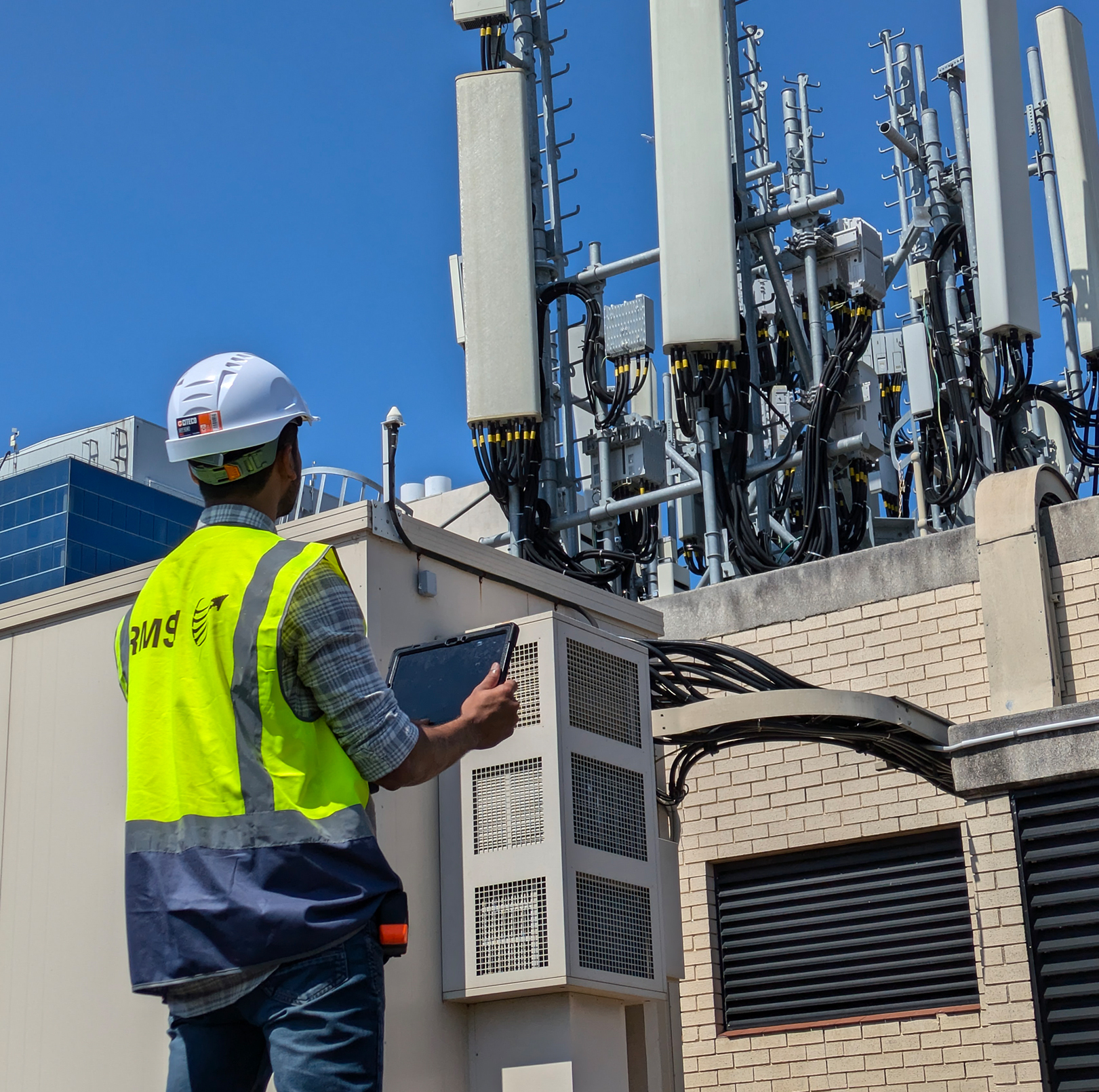
R-Field is a mobile GIS solution that seamlessly integrates enterprise GIS with field operations, optimizing workflows. It empowers field crews to access, edit, and sync asset data with live databases in real-time, boosting operational efficiency and accuracy.
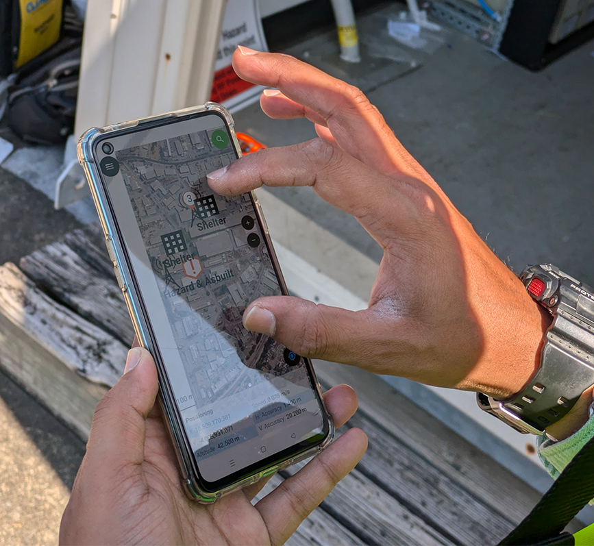
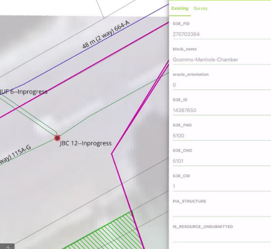
Highly scalable and customizable, R-Field adapts to industry-specific business rules, enabling rapid data collection and seamless integration. Its cloud-based platform supports real-time digital data capture, linking directly to back-end design databases for effortless synchronization across mobile devices, servers, and desktop software. Customizable survey design layers, overlaid on Google Maps, provide clear, project-specific visualisations.
Revolutionized field survey data collection
for telecom network designs, seamlessly capturing critical data across more than 50,000 kilometres of network routes, 300,000 residential units, 500 multi-dwelling units (MDUs), and over 250 cell sites, delivering unparalleled precision and scalability to connectivity projects worldwide.