Event loss table for 10-to-10,000-year return periods
Average Annual Loss (AAL) and Loss Cost
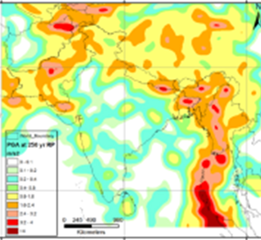
First high-resolution earthquake risk model for the Indian sub-continent
RMSI’s Indian EarthquakeRisk is the most up-to-date high-resolution model that covers the entire Indian sub-continent, comprising India, Pakistan, Nepal, Bhutan, Bangladesh, and Sri Lanka.
The model derives an understanding of earthquake risk for events from 718 AD to the most recent Nepal earthquake. It incorporates the most recent advancements in earthquake engineering along with the most up-to-date hazard and exposure data.
Coverage: India, Pakistan, Nepal, Bhutan, Bangladesh and Sri Lanka
Key Functionalities:
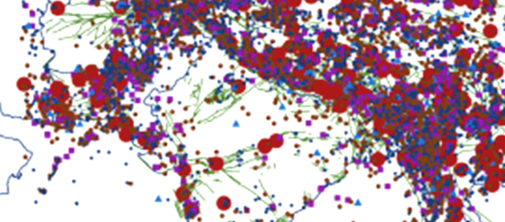
Built on an extensive earthquake catalog of 25,000+ events to accurately assess frequency and severity.
Incorporates a stochastic set of 90,000+ simulated events to minimize uncertainty in future earthquake locations.
Uses NGA-2 ground motion models for precise seismic shaking estimates across locations.
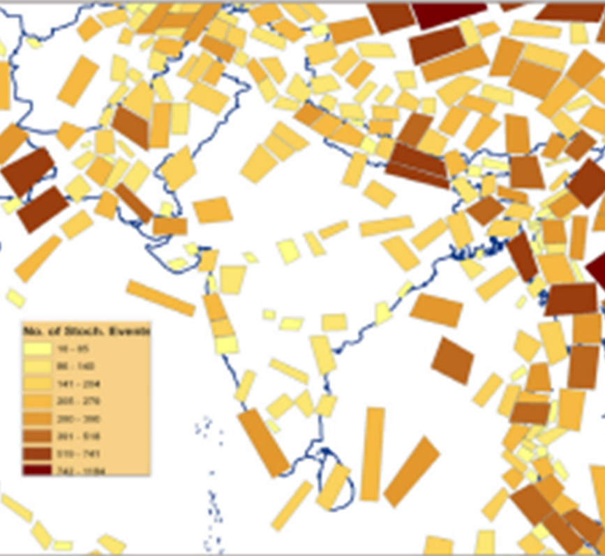
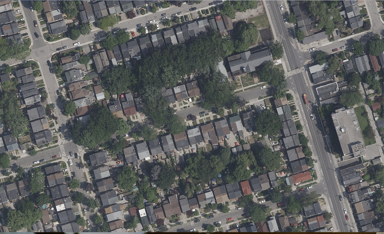
Utilizes RMSI’s high-resolution India Exposure Model with building-level data across major urban areas.
Integrates 2011 Census data for accurate mapping of India’s economic exposure.