Leverages multimodal AI models for intelligent text extraction from deeds, plats, and handwritten documents
Reduces upto 80% costs through AI-powered automation
Speeds up easement clearance with streamlined data for faster permits, legal reviews, and deployments
Provides spatially validated, audit-ready records that meet legal and regulatory compliance
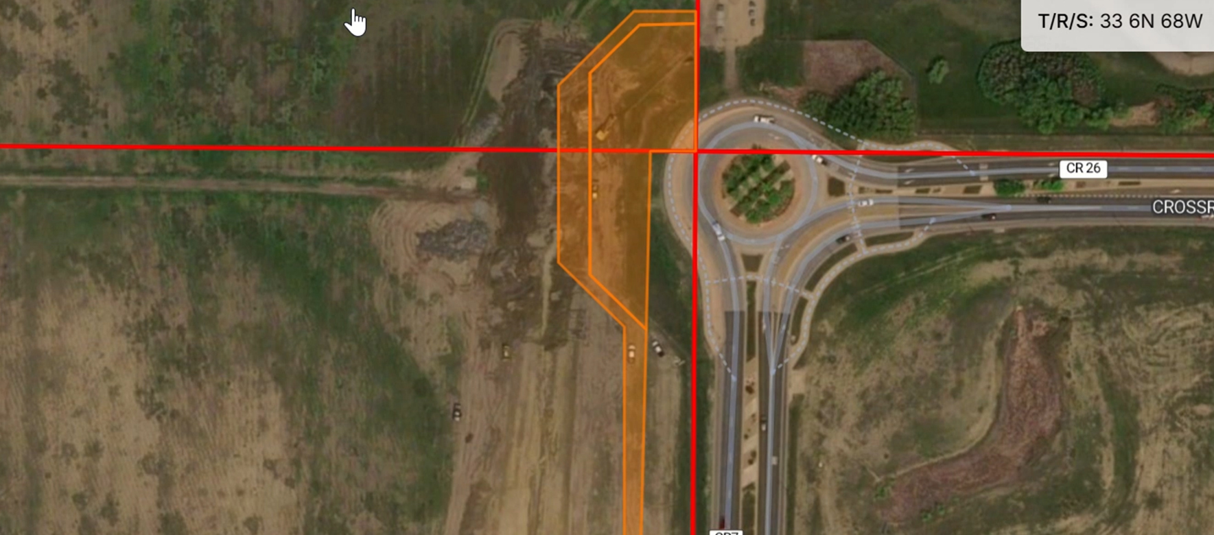
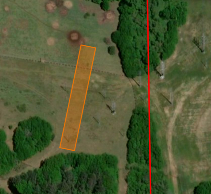
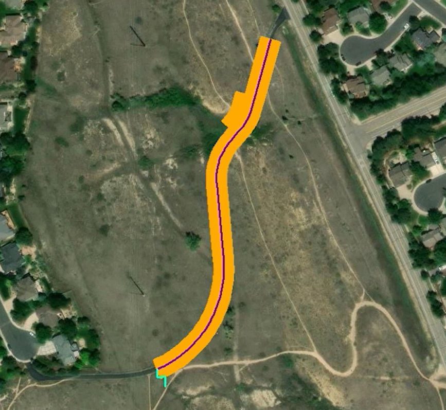
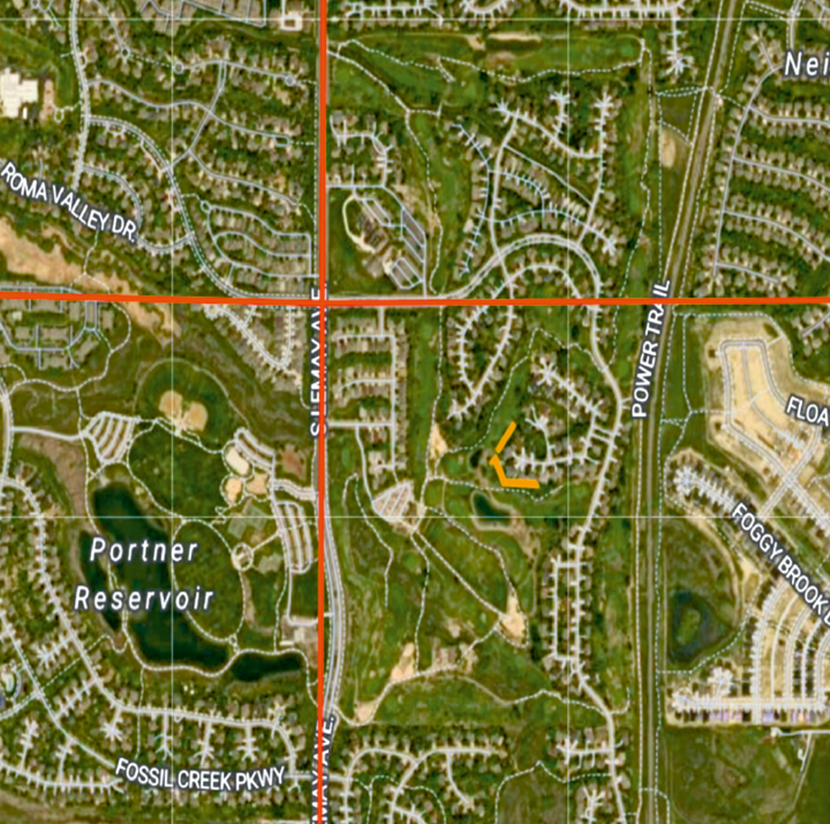
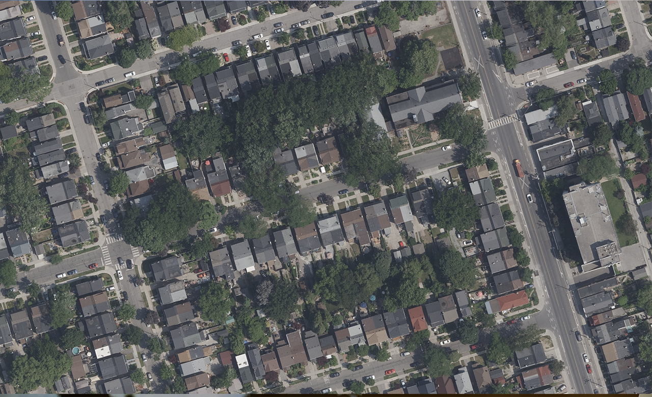
Accessing rights-of-way and easements is vital for utility operators and infrastructure managers—but much of this essential data remains buried in handwritten records and outdated Public Land Survey (PLS) grids, some over a century old. Manually interpreting these legacy documents is time-consuming, error-prone, and expensive. That’s where easement mapping becomes indispensable—helping organizations accurately identify, manage, and understand land rights critical to property transactions, construction planning, and infrastructure development.
EaseX™ is a proprietary easement mapping solution that leverages advanced AI/ML and Natural Language Processing (NLP) technologies to automatically detect and map legal descriptions, bearings, and distances. These AI/ML based techniques train models, validate and interpret the lines and text to convert raster easements into digital information.
Business Benefits
Efficiency: Significantly reduces manual effort through automation
Accuracy: Enhances precision in text extraction and spatial mapping using AI/ML
Reduced Cost: Automation reduces the TAT and increases cost efficiency
Visual Representation: Provides a single resource for researching Easement data. Enables visual representations of the data via mapping applications
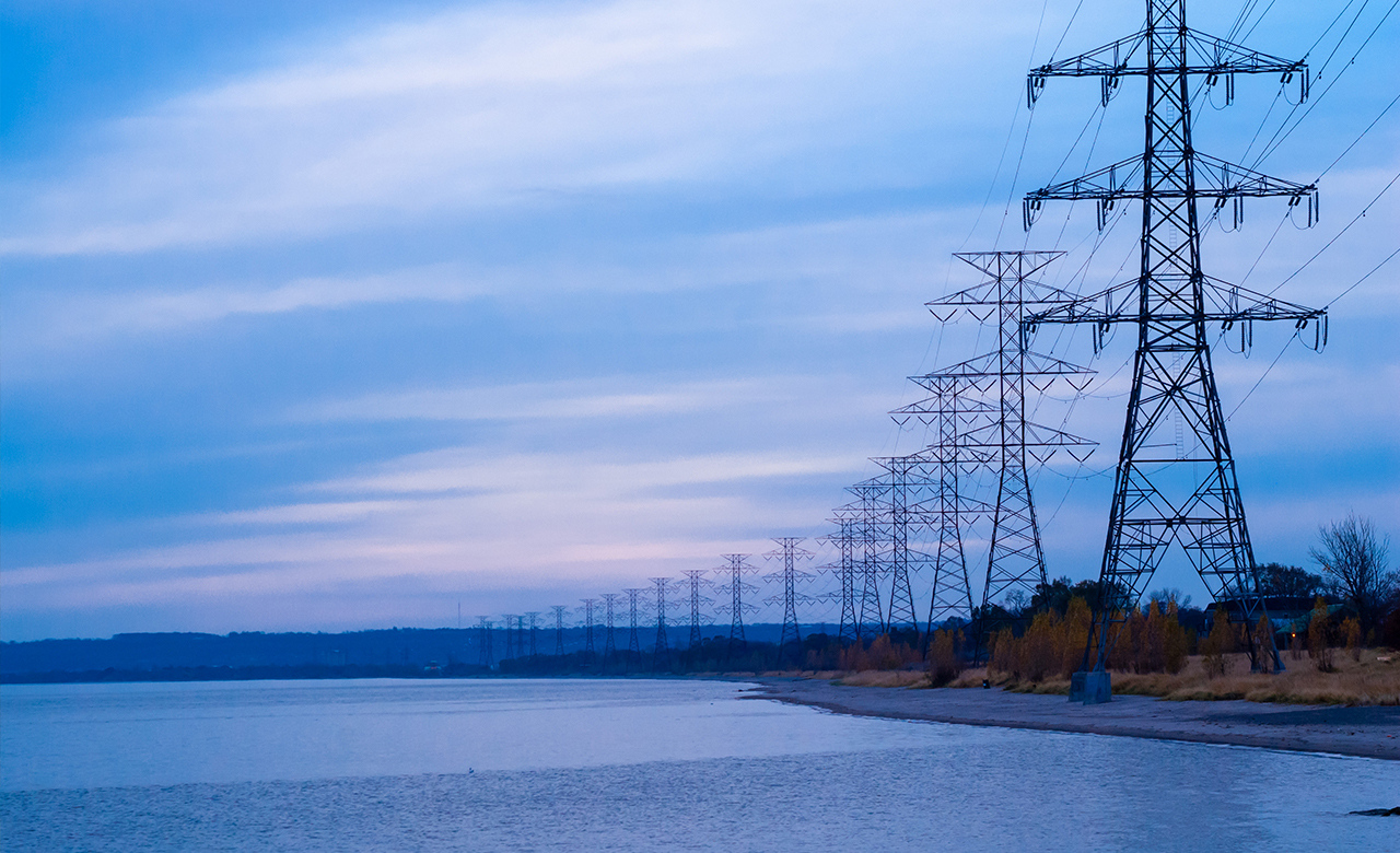
Electric Utilities
Cities
Public Works
RMSI making an impact globally
Automated mapping of Rights-of-way and Easements using AI/ML