
Mapping the World for Autonomy
RMSI is the world’s leading provider of map data development, maintenance and enhancement services.
We combine over two decades of deep mapping expertise with operational excellence and service innovation to provide powerful mapping solutions to our clients. We have over two decades of experience and have worked with majority of the large global navigation map data providers.
We have a team of over 3,800 mapping specialists, and a demonstrable experience of working on large map data projects that required significant ramp up and training within a short turnaround time. RMSI mapping related skillsets include image interpretation and processing, cartography, digitization, photogrammetry, LiDAR, application development, process improvement, project and program management.
Our Value Proposition
RMSI’s unique value proposition and differentiator is our ability to synthesize domain and technology. We engage with clients right from project conceptualization to production, including continuous improvement.
We help clients select the best approach that addresses their business objectives. Our team of mapping experts engage with clients from an early project planning stage so that right decisions can be made regarding build, replace, or refresh.
Next, we help define the specifications, project set up and pilots. RMSI has full in house capability to then scale up to meet project production requirements. In parallel, we continuously work with the client’s organization to identify improvement and innovation opportunities.
“Over 1,50,000 person years of mapping experience”
Key Mapping Objectives that we help achieve
RMSI mapping service offerings are broadly classified by the following three main objectives
Development of new map data products
Enhancement and enrichment of existing map data products
Re-engineering of existing maps
Key Services that we offer
RMSI is one of the world’s leading providers of navigation map data development, maintenance, and enhancement services. We have over two decades of experience and have worked with majority of the large global navigation map data providers.
Development, Maintenance & Enhancement of Map Data Products
SD (Standard Definition) Maps
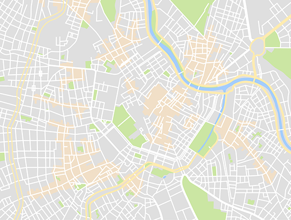
RMSI has extensive experience in the creation, maintenance, enhancement & enrichment of SD (standard definition) map data products.
RMSI provides services that address the end to end workflow for building greenfields as well as brownfield navigation maps. Our key capabilities include specification/process consulting, navigation data development for outdoor maps using semi-automated techniques, navigation map data maintenance, and indoor maps development.
We have a proven, ready to deploy, proprietary suite of integrated tools (RMSI Map Pro) for each stage of the map data development cycle from input preparation, network data capture, attribute conflation, video data integration, to POI integration. RMSI Map Pro also includes automated QA/QC tools for each stage of the production cycle.
Key services include:
- Consultancy and specifications creation
- Attribute & road sign capture
- POI and AOI Capture
- Street network digitization & realignment
- Digital cartography
- Map updates (Both geometry and attributes)
- Mobile video mapping & field data collection
HD (High Definition) Maps
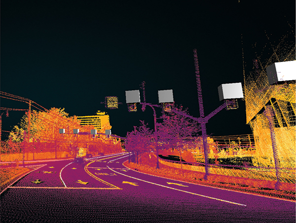
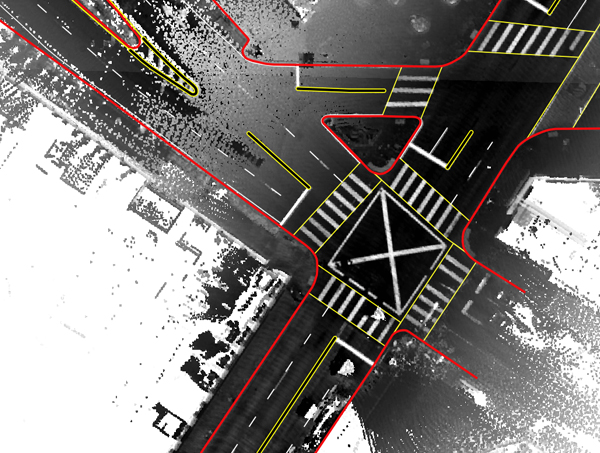
RMSI is using Artificial Intelligence (AI) and Machine Learning (ML) technologies to transform the production of next-generation High Definition (HD) maps for emerging applications such as autonomous vehicles. We have the required skillsets and capabilities to create HD maps using sensor data such as LiDAR and high-resolution aerial imagery. Our mapping framework is based on NDS (Navigation Data Standards) and ADASIS (Advanced Driver Assistance Systems) standards.
RMSI provides HD mapping solutions to its clients primarily under two strategic engagements models including i) End to end HD map data development (From specification creation, input data acquisition to final AV ready 3D map) and ii) HD map data development using client’s inputs and specifications
Another value adds to our HD maps are ‘AI assisted’ updates, generated from collateral data that is obtained using various sensors and cameras, hence increasing the efficiency of maps.
We have also developed AFX, an automated feature extraction tool that extracts and classifies features at a global scale from aerial, satellite and camera imagery.
Key services include:
- Specifications creation based on NDS Open Lane Model and ADASIS (Advanced Driver Assistance Systems) standards
- LiDAR Data Processing & Classification
- Semantic Segmentation
- Feature Extraction including road geometry and furniture
- Annotation & Labeling
- Creation of HD maps (2D & 3D)
Indoor Venue Maps
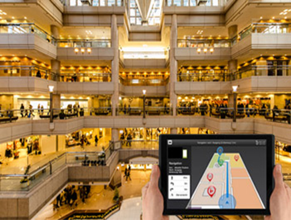
RMSI provides indoor venue map data creation and maintenance services to indoor positioning application providers, map data providers, and large retail chains, amongst others. We create and convert indoor venue map data from multiple resources, (CAD/PDF) following AVF (Apple Venue Format) standards.
We help our clients in creating a unique ‘in-store’ navigation experience for their customers and inaccurately guiding them to various points of interest within the venue. Our team of experts has an in-depth understanding of different types of indoor venues such as airports, museums, stadiums, stores, malls, hospitals, etc.
Annotation & Labelling
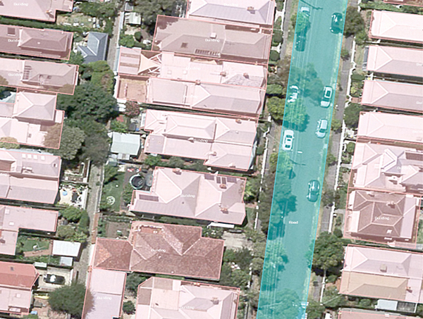
RMSI’s proprietary solution eDGEx is an AI-powered suite of integrated tools for auto labeling and annotation services such as 2D & 3D Bounding Boxes, Polygons, Polylines, Cuboids, to Semantic Segmentations. eDGEx is workflow driven to ensure, that any fallouts that are not auto curated, are automatically assigned to annotators based on their skills for manual annotations.
Key services include:
- Supports all input sensor data, from imagery to LiDAR to video data
- AI powered to ensure operational efficiency, and high quality
- Solution enables tracking progress, efficiencies, and quality at an annotator level
Image Processing
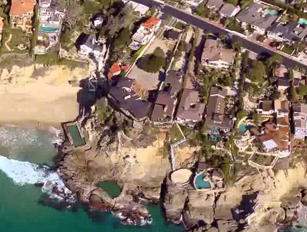
RMSI provides image processing services to create and update geographic datasets for a variety of end users. These range from land use planning, utility planning, urban and rural infrastructure planning using high resolution imagery to forest mapping, watershed management, natural resource mapping, and mineral mapping using low resolution imagery.
Our imagery services include image data conversion, processing, interpretation and analysis of airborne and satellite imagery datasets. We have multi domain expertise of working with coarse to very high resolution airborne and satellite imagery and wide spectrum of imagery applications for geospatial data development and analysis.
We have extensive experience in the interpretation and processing of airborne and satellite imagery and have worked with most of the commercially available satellite data products. RMSI uses its in-house developed proprietary tools, 3D Workstation (Digital Photogrammetric Workstation), batch processing and distributed processing techniques.
Key solutions include:
- Photogrammetry
- Remote Sensing
- LiDAR
3D City Landmarks
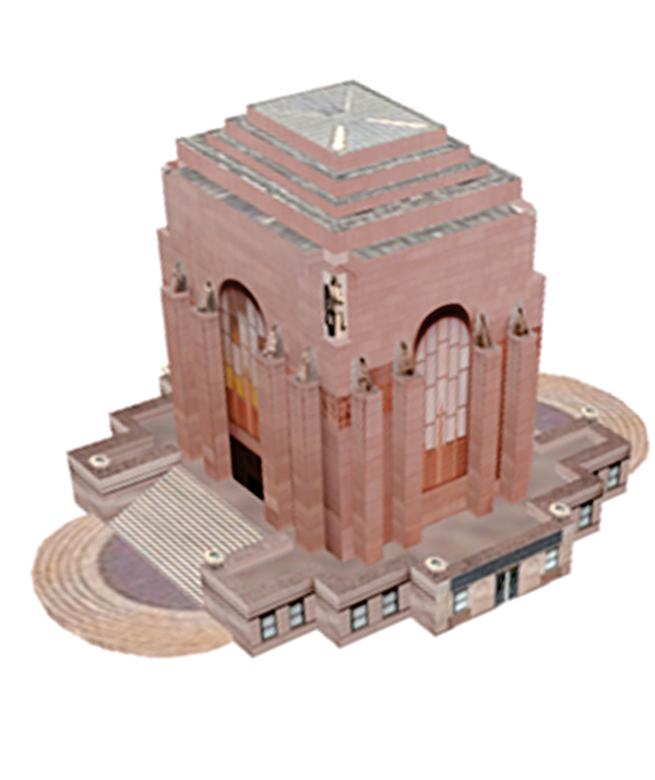
RMSI provides high resolution 3D databases (at various levels of details) using photogrammetric technologies and its in-house developed proprietary tools. These 3D models are created using the most recent high-resolution stereo pair aerial photographs, satellite imagery, best available topographic maps, field inputs and information available from secondary sources.
3D City Models: RMSI creates 3D city models at different Levels of Details (From LOD1 to 4)) using the best available software applications that use large DEM (Digital Elevation Model) and aerial images.
Photorealistic 3D Landmarks: RMSI applies close range photogrammetry and state-of-the-art technology to create 3D Building Landmarks and Photorealistic 3D Models for monuments, museums, recreational destinations, petrol pumps, and other establishments.
3D Indoor Mapping: RMSI offers 3D indoor mapping services enabling users to accurately locate POIs within premises.
