Digitally Powering the Navigation & Mapping Leaders of Tomorrow
Overview
The navigation sector stands at the intersection of rapid innovation and operational scalability demanding faster rollouts, sharper data strategies, and resilient supply chains. RMSI enables hi-tech enterprises to accelerate market expansion, cut time-to-value by up to 30%, and build AI-ready operations that unlock new revenue streams.
From delayed product launches to fractured supply networks, every disruption erodes customer trust, compresses margins, and hands market share to faster competitors. The challenge is clear: how can technology leaders scale innovation, monetise assets, and maintain operational resilience while controlling cost and complexity?
Trusted, integrated data helps organisations bring new initiatives to market faster, with some processes reducing cycle times by up to 40% in specific cases. It also improves customer satisfaction by 20–30% and strengthens compliance through better governance and data quality.
What We Help You Achieve
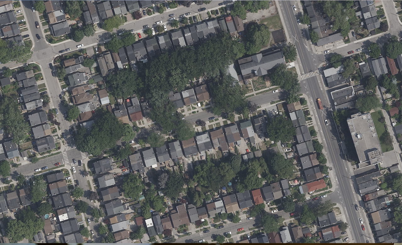
Capital-Project ROI & Build-Cycle Compression
Leading tech firms compress build cycles and accelerate ROI through high-precision digital planning, 3D modelling, BIM, and asset-lifecycle intelligence.
RMSI transforms digital planning with AI-powered mapping and labelling.
Helping global tech firms compress build cycles and unlock 25% faster project delivery.
25%
Shorten project timelines
30%
Higher ROI
Location Intelligence for Market Expansion & Asset Monetization
Harness Geospatial Data & Intelligence to unlock new markets and revenue streams. Through advanced offerings – LiDAR-Based Mapping, Remote-Sensing Mapping, Cadastral Maps, and AI-Driven Data Intelligence – organisations gain precise insights to identify high-value sites, optimise assets, and accelerate monetisation opportunities.
RMSI turns geospatial intelligence into your next growth engine.
Powering smarter expansion and faster asset returns.
+5–10%
Top-line Revenue
30%
Faster market entry
15%
Higher ROI
AI-Powered Operational Scalability
Leverage Data Processing & AI Enablement to drive rapid scale and efficiency. Our Annotation & Labeling services transform raw data into high-quality training sets, enabling advanced analytics and machine-learning models that automate operations and accelerate decision-making.
Train smarter. Scale faster. Operate intelligently with RMSI.
2–3x
Improvement in model performance and operational scalability
50%
Faster decision-making
25%
Reduction in model error rates
Supply-Chain Resilience & Last-Mile Profitability
Strengthen networks and protect margins with Mobility & Logistics Optimization. Our Last-Mile Delivery Data services provide precise routing and demand analytics to cut delivery times, lower transport costs, and boost on-time performance—driving resilient, profitable supply chains end to end.
Every mile matters.
RMSI turns location intelligence into lasting profitability.
RMSI manages the full data journey – acquisition, quality, integration, AI-driven analytics, and automated reporting – turning data into a strategic asset embedded in daily workflows. Our two-decade partnership with Esri as a partner ensures world-class geospatial technology adoption and support. We help you achieve:
Navigation & mapping leaders who act today will define tomorrow. From operational excellence to regulatory agility and AI-powered innovation, the path forward is clear: embrace transformation or risk being left behind. RMSI empowers hi-tech enterprises to evolve into the navigation & mapping Leader of Tomorrow – digitally enabled, adaptive, and built for sustainable growth.
Contact RMSI today to discover how our comprehensive solutions can help you achieve rapid innovation and operational scalability in an increasingly complex landscape.