5-meter resolution land use and land cover exposure data (2020–21)
50 years of river flow records for hydrological modeling
125 years of historical rainfall data integrated
India-specific vulnerability functions based on multiple flood events
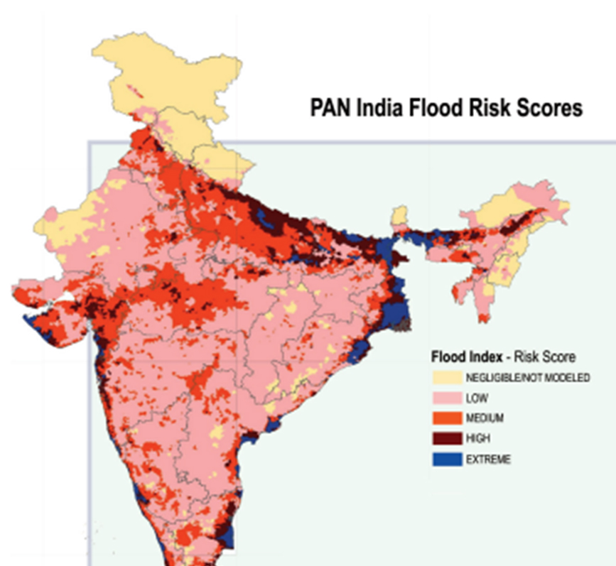
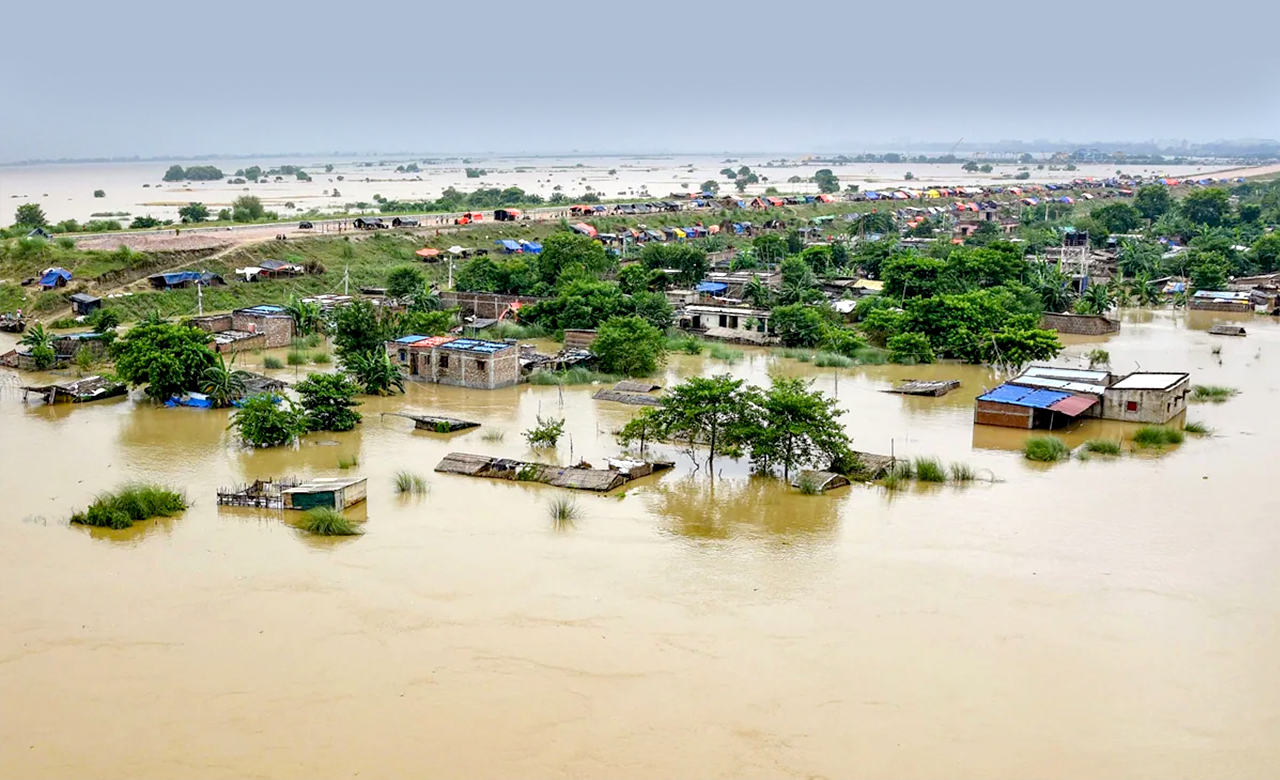
India’s First Countrywide Flood Risk Model (Version 2.0)
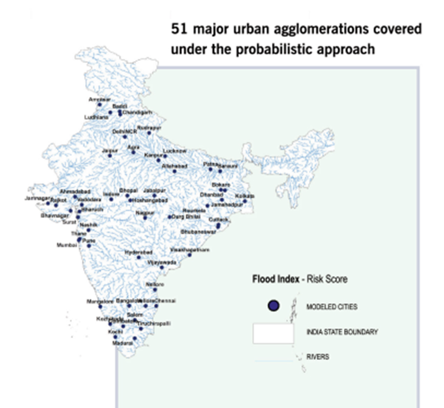
RMSI’s India FloodRisk 2.0 is India’s most thorough flood risk assessment tool, giving granular risk analytics across all 19,000+ pincodes using a sophisticated stochastic modeling methodology. Including 80,000 simulated flood events throughout India’s 28 main river basins and 3,400 sub-basins.
The model integrates with the Oasis loss modeling framework to provide insurers with state-of-the-art financial modeling.
Key Industries
Re/Insurance Brokers
Utilities
telecom
FMCG
Others
Caliberated against multiple recent events
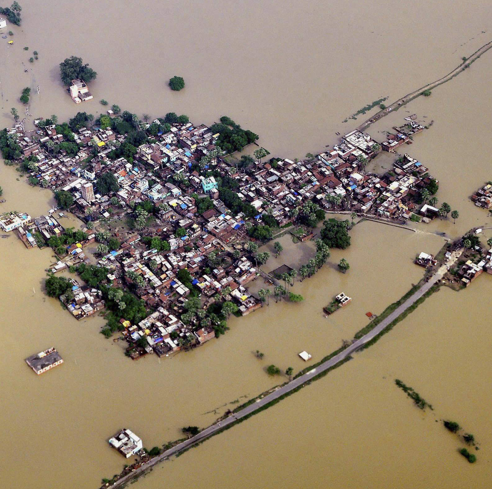
Delhi Floods(2003), Bengaluru Floods(2022,2024), Mumbai Floods(2024), Tamil Nadu/Andhra Pradesh Floods (2024), and historical events – Gujarat(2006), Mumbai (2005), Uttarakhand(2013), Jammu & Kashmir (2014), Chennai (2015), Kerala (2018, 2022)