Multi-Hazard Risk & Adaptation (MHRA) that quantifies location-level exposure and business interruption across floods, cyclones, heatwaves, droughts, earthquakes, and landslides—today and under future climate scenarios.
Read MorePhysical and transition risk insights across 43 industry sub-sectors with our automated TCFD framework and client-ready APIs.
Read MoreAI-enabled 24/7 multi-hazard impact forecasting with 2-3 days advance warning capability
Read MoreGHG footprinting (Scopes 1–3) at company, facility, and state levels across 43 sectors, with benchmarking and reduction planning
Read MoreAutomated, sector-specific impact and risk scores for historical and real-time events, plus on-demand report generation.(Aligned with BRSR, TCFD, ISSB and TNFD)
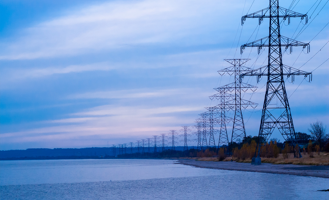
Read MoreEnd-to-end planning, forecasting, and optimization of water, forests, agriculture, and renewables at location and catchment scales.
Read MoreIdentify, rank, and operate bankable renewable sites and improve generation performance
Read More
Proven track record of working with leading enterprises, global agencies, NDMAs, SDMAs, MLFAs, and national and international private organizations across diverse industries and geographies.

Geospatial AI, digital twins, predictive analytics, and ESG intelligence powered by advanced data science.

Comprehensive sustainability transformation solutions across climate risk, ESG reporting, and supply chain resilience.


Esri partner for over two decades, delivering trusted data-led transformation worldwide.