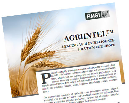
AGRICULTURE
Solutions for sustainable agriculture development & food security
There is a growing focus on embracing technology that contributes in accelerating agriculture growth and address the challenges of a growing population, rapid urbanization and the larger agenda of food security.
RMSI provides technical and consulting solutions to government and private enterprises engaged in agriculture and insurance. We provide integrated agri-intelligence solutions for the agri-value chain and address impending issues like food security, sustainable livelihood development and climate smart agriculture. We have a multidisciplinary team comprising of agronomists, pedologists, entomologists, plantation experts, agri-economists, agri-statisticians, soil and livelihood experts.
RMSI adopts a conjunctive approach of using geospatial technology and statistical methods coupled with field surveys to deliver agri-solutions in a quick turnaround time while maintaining the highest quality standards, thus, translating into optimal cost savings for the client.
Solutions
Natural Resource Information and Management (NRIM)
RMSI develops agriculture resource information systems using satellite imagery coupled with field inputs and generate spatial databases of agricultural attributes such as acreage, cropping pattern and yield. These databases are regularly updated and monitored using satellite imagery and there is further ground truthing based on field survey.
These information systems help government, insurance and agri-input companies in decision and policy making and help them in sustainable management of agricultural resources. The NRIM consists of the following information:
- Crop survey and spatial distribution mapping
- Soil survey, mapping and quality assessment
- Detailed land use and land cover mapping
- Crop change detection analysis
- Cropping pattern analysis
Suitability and Planning Studies
Suitability and planning studies utilize the present soil conditions or parameters and determine the appropriateness of a given area for a particular crop cultivation. Our experts conduct suitability studies that provide valuable land evaluation information such as suitable land use practices, indicators for crops, water usage, types of pesticides and assessment of nutrient demands for promoting use of regional fertilizers etc. Key areas include:
- Baseline survey and mapping
- Crop production improvement planning
- Water resource development planning
- Land use development planning
Assessment of Climate Change Induced Spatio-Temporal Shifts in Natural and Agro-ecosystems
Our climate change experts provide assessment of climate change induced spatio-temporal shifts in natural ecosystems and agro-ecosystems using internationally recognized natural and agro ecosystems modeling approaches. We also help our clients in understanding the implications of these changes for their development planning.
Agri-Information for Supply Chain Management
RMSI offers country-wide reliable agri-intelligence data on crop acreage, yield and cropping pattern to agri-stakeholders including planners, insurance companies and policy makers. This information offers an accurate understanding to the client for taking business decisions across the agri value chain viz. procurement, storage, public distribution, export, import and many other related issues. We provide:
- Crop acreage estimation
- Crop yield and production estimation
- Crop stress and health monitoring

Are you using science based intelligence to respond to future challenges in agriculture?
Know MoreDevelopment of Integrated Crop Insurance Models
RMSI develops integrated crop loss models that can support the needs of the primary Insurers, brokers as well as reinsurers. Conventionally, crop insurance schemes were based on anomalies in the crop yield or they correlated anomalies in weather parameters directly to yield loss. RMSI models follow a proprietary integrated crop insurance product design framework (based on both yield and weather) that helps in settling claims much faster. The model provides facility for coverage add-ons that help cover additional aspects for the beneficiary such as medical expenses, tractor breakdowns, tube well breakdowns, etc.
Training & Capacity Building
To ensure long term usability and benefits of our solutions, RMSI offers training in the areas:
- Crop, soil and land use survey
- Remote sensing and GIS techniques for agri-information
- Statistical methods in NRM
- Climate change adaptation in agriculture
