
As a leading global geospatial player, RMSI recently co-sponsored the Geospatial World Forum at Madrid, Spain from 22nd-25th April, 2025. GWF is one of the largest global geospatial community events, gathering geospatial professionals and leaders representing the entire ecosystem of policy makers, national mapping agencies, space agencies, private sector enterprises, multilateral and development organizations, scientific and academic institutions, and large end-users from government businesses and citizen services. It is best known for its futuristic themes, engaging content, top-level attendees, and valuable networking opportunities. This year’s event had over 1000+ Delegates, 450+ Organizations, 80+ Countries, 50+ Exhibitors, and 40+ Sponsors & Partners.
The overarching theme for this year’s event was – “Spatial Computing and Digital Twin Enterprise: Accelerating the Future Geospatial Ecosystem”. The event explored how spatial computing, an integration of physical and digital environments work, with Digital Twin Enterprise being central to the theme.

Day 1 began energetically with the India-Europe Space and Geospatial Business Summit. RMSI CEO Anup Jindal and other leading technology leaders and national mapping agencies were invited to delve into an exclusive discussion on “Collaborative Opportunities for National Mapping”. The group explored multifaceted partnerships and innovations between India and Europe.
| Anup Jindal, CEO of RMSI, said, “We see a dire need for a mix of innovation and capacity in combination with implementation at a national level. We have examples of how innovation coming from a national mapping agency translates into doing well for another country and giving opportunities to entrepreneurs of that country. Also, integrating new age technologies such as AI, ML, and automation into the whole production workflow becomes crucial.” |
The day’s momentum built towards a crucial mainstage plenary on “One Map. One Humanity. One Planet.” To which Anup Jindal, CEO, RMSI, was invited along with other global leaders to share his thoughts.
| Anup Jindal, CEO, RMSI: Over a period of time, India invested heavily in early warning systems, disaster risk mitigation, and disaster response systems, which have led to a drastic reduction in casualties from cyclones in many coastal areas. As part of the national cyclone risk mitigation program in India, we have developed models for modelling the cyclones, their on-ground impact, and assessing geospatial aspects of how the response could be. This model can be implemented and scaled up on a large scale through a collaboration between private companies and governments. We can accelerate our efforts by launching pilot projects across regions, where smaller companies can contribute through their intervention. Secondly, create incentives for larger companies that have global map data and are looking to partner and provide UN access to that. |
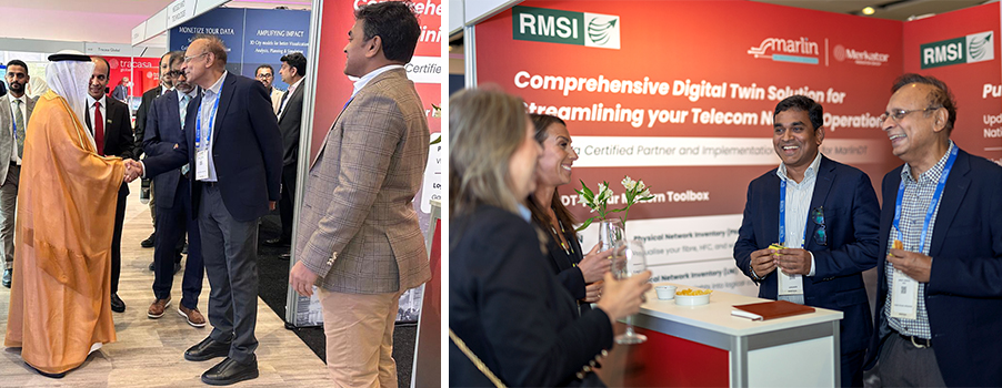
Day 2 began with RMSI showcasing its specialized services for the UK and European markets at its booth in the exhibition pavilion. The RMSI booth garnered many visitors where RMSI representatives met clients, partners, and prospects across industries. The booth echoed with compelling discussions, collaborative networking, and a shared passion for transforming experiences.
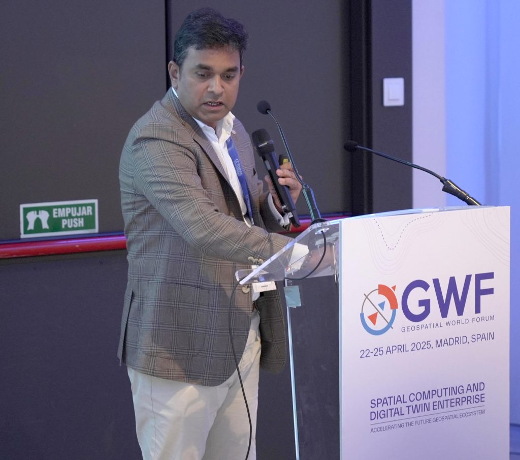
On Day 4, an AEC Summit was held where RMSI’s mapping expert, Dr. Senthil Rajendran, Head – RMSI Middle East shared insights on the panel “The Role of Integrated Urban Digital Twins in Enhancing Infrastructure Resilience”.
As we wrapped up the week at the Geospatial World Forum in Rotterdam, we engaged in some great panels, collaborated with our partners and clients, and heard from the industry how businesses are transitioning to geospatial technology. RMSI offers services across the entire GIS value chain and supports customer transformation, making it one of the world’s leading providers of map data development, maintenance, and enhancement services.