Look around yourself, and then if I tell you that whatever you have seen, observed and visualized, can be captured, stored, checked, and be displayed as positions on the earth surface, will you be surprised!
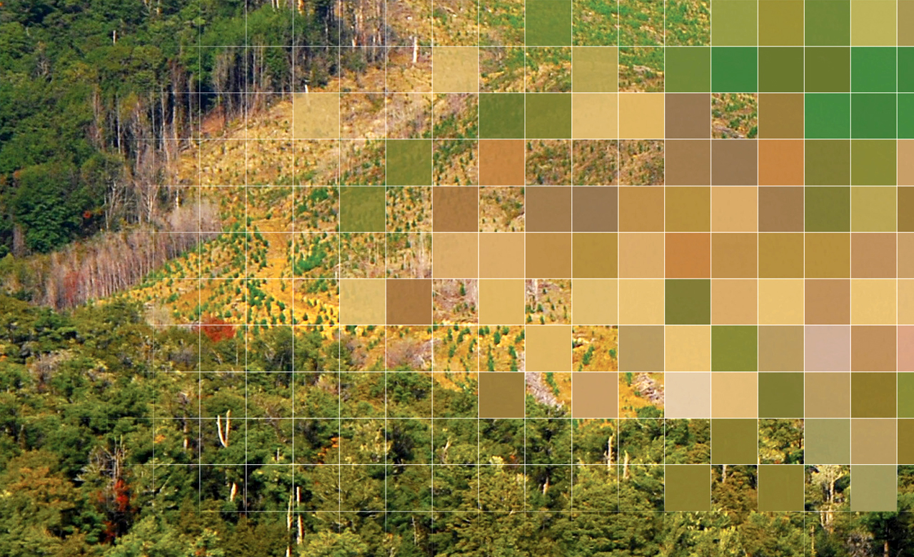
All this is possible and is actually being done by using ‘Geographic Information Systems’ (GIS). GIS is not new to the world. The use of spatial analysis dates back to 1832, when Charles Piquet, a French geographer represented the 48 districts of the city of Paris by halftone colour gradient according to the number of deaths due to cholera per 1,000 inhabitants. Today, GIS is an ultimate tool which helps organizations and individuals better understand spatial patterns and relationships. It plays an important role in the field of spatial data infrastructures. Thus, any information in terms of location is circulated using GIS. Another technique called Remote Sensing (RS) is the acquisition of information about an object or phenomenon without making physical contact with the object. Remote sensing is used in numerous fields, including geography, land surveying and most Earth Science disciplines (for example, hydrology, ecology, oceanography, glaciology, geology). RS, when associated with GIS, not only makes the concept of spatial patterns more convoluted but also bridges the gap in many studies which require a deep sense of geographical analytics.
For instance, many hydro-geological studies, including groundwater exploration ,defining zones of recharge potential, identification of subsurface flow direction and water entrapment, can be studied more effectively using RS & GIS. In many such studies considering regional-scales, other types of hydrological assessments fail as they cannot cover larger areas in a short assessment time.
Similarly, for assessment of recharge potential, there are a number of influencing parameters namely lineaments and land cover/land use (LU/LC), and therefore weightage has to be given to each parameter depending on the thematic maps produced. The degree of effect (i.e. weight) of these parameters is a vital step during the assessment, which directly depends on the GIS system applied.
Urban growth analysis is another fascinating area that has been recognized to be largely benefitting from RS & GIS, The methodologies for detecting the LU/LC rate define the nature, rate and location of urban growth. The applicability of integration of RS & GIS does not limit to urban planning only. It also has a promising contribution to the ecological studies, providing a good platform for the analysis of non-point source pollutants which greatly influence water quality.
Another area of application is the classification of soil erosion and identification of threshold risk zones using LULC, which facilitates managing and planning land use for curbing land degradation. Storm water discharge, water logging, and vegetation management are few more recognized areas where GIS & RS applications are well established.
Another catastrophic event study associated with the integrated module of RS & GIS is ‘’landslides’’ (i.e. earthquake and/or rainfall sensitive). The primary stage of this study includes vast usage of remote sensing images in collaboration with GIS techniques for data acquisition. Discrete rough set (DRS) differential vegetative index and vegetation index as the two important variables.
In addition to these techniques noted applicability to water, land or catastrophic events, mineral exploration is another area which has increasingly started using these techniques to find out potential mineral reserves within large leased exploration blocks and optimize their time and costs. They help mining companies owing large blocks to exactly detect the location of a mineral reserve in far less time than what it takes by the conventional ground survey based approach. RMSI has executed multiple such projects to identify mineral rich potential zones in the specific concession exploration blocks of Africa.
RMSI followed an integrated approach of using multi resolution satellite images for identification of mineral zones. While medium resolution images were used for mapping regional geological features, high resolution images were used to identify mineral rich zones and to update the required geological features for the identified zones. The team developed a digital database of lithological, geomorphological and structural features that served as input thematic data for undertaking multiple GIS based modelled scenario analysis. Thereafter, GIS based overlay analysis was undertaken to generate a predictive model to assess and categorize the identified mineral potential zones into high, moderate and low probability zones. RMSI also created a database of urban sprawl and transport networks to identify the best sites for mineral exploration.
These are just a few areas where RS & GIS are being used for planning & better decision making. The scope of using these techniques is vast and transcends all kinds of business and studies. With RS & GIS, we can analyse wide range of phenomena with different parameters which are event specific. With an increasing and promising applicability of RS & GIS, it is difficult to predict the inherent capability of GIS in the future. The only things we are certain of, is that the future development of GIS will be on multiple tracks, as indicated by our experts’ growing interests in topics such as GeoWeb, Digital Earth, CyberGIS, virtual geographic environment, and GeoCloud Computing. Technologies will evolve, and RS & GIS will remain to be the guiding light to unravel the mysteries of geography!