In the utility industry, processes and applications are only as good as the data that is used in them. An accurate result requires accurate data. Safety requires accurate data. Reliability needs accurate data. Business transformation is built on accurate data. I think you get my point. This is so critical that I have decided to start a blog series dedicated to the topic.
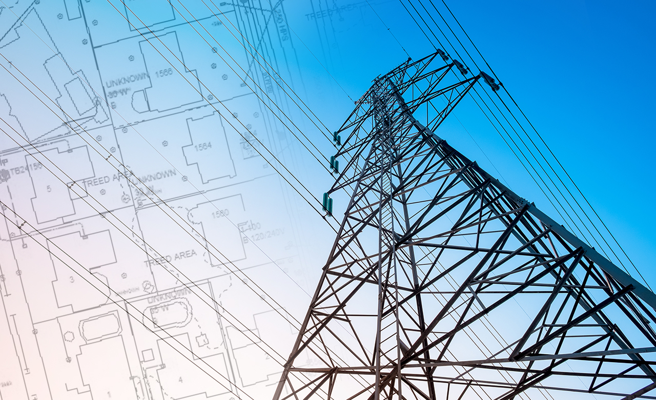
Cities are complicated places. Navigating any major city is challenging, be it large centers like New York, London or Moscow or smaller cities such as Missoula, MT or Truckee, CA. While what we see of a city appears complicated, it is nothing compared to what we can’t see; all of what lies below our feet. While infrastructure is mostly invisible, it is vital; critical to our existence. It supplies the water we drink, the power we use, the fuel for heat, our communication and entertainment channels and the waste we generate. Without it, life as we know it, would grind to a halt!
Smart City is no longer a new term; there are extensive number of publications, many of us have read about the funding of smart city projects such as the one in Columbus, OH, and maybe a few of you have been involved in the implementation of smart infrastructure like public Wifi, smart meters or even bus tracking. While these transformational projects are changing the world we live in, most of us reside in places still lacking the basic information required to make a smart city work; location.
Why is location so important?
Understanding the location of your infrastructure is critical. All infrastructure “lives” within its geography. Location defines the equipment’s position in a sea of natural and man-made features. It is critical to every aspect of owning and maintaining infrastructure. Using location, you can assess risks, plan maintenance and replacement cycles, respond to emergencies and ensure damage prevention. Maintaining location decreases costs, removes delays and reduces the risk of operating.
I have been in the infrastructure field for more than 20 years. Here are a few things I have learned about infrastructure and location:
1. There is a difference between location and accurate location. Utilities and governments operate a GIS in which they maintain location. In many cases, those systems were originally built from paper maps, digitized AutoCAD drawings, contractor information and old records. History has shown that this type of information can be a suspect and running your operations on it introduces risk. In addition, a large amount of this information is old or is missing actual reference files. Why? There are many reasons. Here are some sources of inaccuracy: 1) Infrastructure is bought, sold and transferred. During these transactions, records are lost, not entered into new systems or updated. 2) In many organizations, field staff that maintains infrastructure doesn’t have access to the content and therefore can’t update it. Others may still use paper field forms, which can be lost or take time for updates to be entered. As a result, data is inaccurate or out of date (replacements and repairs occurred but the updates were never input). 3) When emergency work occurred, speed was the most important factor and company standards were not adhered to. Perhaps surveys never happened until after construction was complete and buried or detailed documentation never completed. 4) In many cases, spatial inaccuracy was created intentionally when a utility had to choose between spatial accuracy and cartographic readability. Historically, utilities offset features to ensure that maps were complete, and features were identifiable. Today, this problem is addressed by multiple representations, but if a program was not completed to remove cartographic adjustments, these chosen inaccuracies would still exist in the data.
Location is important so make sure it is accurate. If it isn’t correct, understand why, and build a plan to improve the quality.
2. Infrastructure information isn’t always available to those who need it; data is hidden. Data is “buried” for two reasons. First, information is power. People or teams who have “the critical data” can ensure their longevity by making you go through them to get it. Second, it isn’t easy to give access to data. Access means desire, conversations, systems, user rights and maintenance etc. All of this requires agreement, approvals, support and politics. Culture inhibits access.
For data to remain correct, the people who work with it should OWN it. If it is hidden you can’t update it, so content and location can quickly go out of date. If it is hidden, it won’t remain accurate.
3. Keeping data current is complicated and expensive. Let’s say the political landscape doesn’t exist and the organization is completely aligned in the desire to keep data current and accurate. The technology used to maintain geospatial data (a GIS) is complicated and expensive. There are dozens of applications, structured data models, platform configuration variation etc. While it is powerful, it is also difficult to implement and manage without an expert. You need to understand networks (Geometric Network and Esri’s Utility Network), linear referencing, versioning, and information security among many other technical elements. In the geospatial industry, there are many technical reasons why information doesn’t stay current. Additionally, these platforms are expensive. You no longer buy a product, you license a user community. Solutions are configured and customized for different purposes. This all represents a financial investment.
Complexity and cost often position themselves between organizations and accurate data and only the largest/most profitable organizations prevail. Make sure you understand these costs and design a deployment that fits your budget and addresses data maintenance needs. If you have data clean up needs, consider externalizing them so licensing doesn’t become an issue.
4. Uptime, safety and corporate risk are what your executives, shareholders and customers care about. Unmanaged risk or system failures can cripple organizations in a matter of days. We have seen numerous cases, for example the recent fires in California. In addition, customers hate…I repeat hate outages, they cringe at environmental disasters and many see infrastructure as dangerous. To make matters worse, they aren’t very patient or forgiving. Reliability and safety are key to customer loyalty.
Performing risk and vulnerability analysis regularly will limit exposure. Data accuracy impacts the results from these analyses. Accurate data equals accurate results.
So where do you go from here? Tune in; Balaji Utha and I will outline how to develop a plan to address data accuracy in the next blog in this series. In addition, Rahul Krishna Pandey is working on a related posting on data validation and the role of our ValidateX solution.