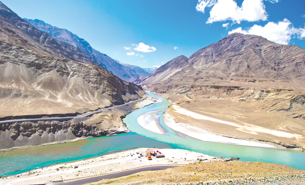
Perched amongst the lofty Himalayan mountain ranges and laden with natural beauty, Jammu and Kashmir (J&K) is a ‘Paradise on Earth’. The State is located in the Himalayan Range and has a rich flora and fauna. Despite its vulnerability to multiple natural hazards, it attracts lakhs of tourists every year.
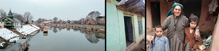
Jammu & Kashmir has witnessed several large natural disaster events over time. These recurring natural disasters affect the local people and shake the economy at large leading to heavy economic losses and major disruption to infrastructure & transport. Such events have a huge impact on the lives of people killing 100’s every year and acting as a constant threat to the residents of the State, especially the poor & remote communities.
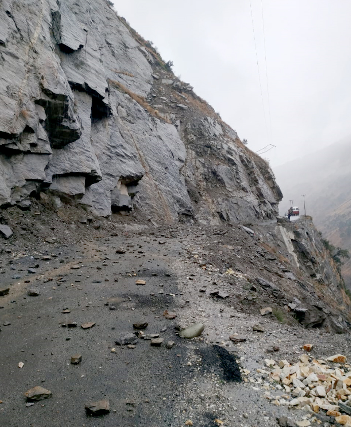 The 2005 Kashmir earthquake and the more recent 2014 floods are examples of the high vulnerability the State has towards natural hazards. In September 2014, massive floods in Kashmir led to the death of 277 people caused by torrential rainfall. These recent events severely affected the valley and impacted almost the whole State. Another phenomenon leading to significant damages in the State is climate variability and changes, by means of erratic or unseasonal rainfall/snowfall and dry spells. Incidents of forest fires are on a rise, resulting in vegetation cover loss and thereby increasing the susceptibility of the State to landslides, rock-falls, and other hazards.
Considering the history of the State, along with the high vulnerability to disasters, the local governments realize the need to focus on Disaster Risk Reduction and increase the disaster management capacity, hence making its residents more resilient. Consequently, the Government of Jammu and Kashmir (Govt. of J&K) initiated the Jhelum and Tawi Flood Recovery Project (JTFRP) in 2015, with financial support from the World Bank. The project objective was to support the recovery; increase the disaster resilience of the State and increase its capacity to respond promptly and effectively to a crisis or emergency. The project aims to strengthen disaster risk management capacity through capacity building for disaster management (for SDMA, SDRF, the establishment of DSS, and EOC) and providing technical support for disaster risk reduction and response preparedness.
As a key component of the JTFRP project, the Govt. of J&K has entrusted RMSI to carry out a Multi-Hazard Risk Assessment (MHRA) study for the entire State. The study is to be undertaken through a scientific and contextual method, suiting the unique geomorphology of the State, for assessing the hazards, relevant exposure, the vulnerability of key exposure types and the ensuing risk.
The MHRA study will result in the development of disaster risk maps and associated outputs that will enable the Govt. of J&K in building back better and incorporating global frameworks such as SFDRR in its development plans.
The key components of the study include:
- An in-depth analysis of key hazards such as flood, earthquake, landslide, avalanche, Glacial Lake Outburst Flood (GLOF), drought, forest fire, urban fire, and industrial hazards that affect the State
- Developing a detailed understanding of the extent of historical impacts of these hazards
- Developing specific vulnerability of the community and infrastructure; and
- Determining the degree of potential exposure to future events
To assess the vulnerability of the community and infrastructure, the study involves two surveys across 22 districts and 217 Tehsils of the State:
- Socio-economic survey of 2% of the State population
- A structural survey of 2% of the total buildings in the State
Key challenges:
The terrain, weather, and geopolitical situation create unique challenges specifically with regards to accessibility.
Expected outcome:
The expected outcome is to develop a GIS-based Digital Disaster Risk Database (DRDB) and an Integrated Operational Forecasting System (IOFS) for hydro-meteorological hazards (flood, flash flood, avalanche, and drought) to provide real-time warning, thus offering a longer lead time for effective response. RMSI will be creating a GIS-based risk atlas which will have hazard and risk maps. These maps will be critical for risk resilience planning and mainstreaming disaster risk into development planning for the State, across all sectors.
This is one of the largest and most unique study of its kind that promises to bring value to the State with its outcomes.
This study will enable the government in Disaster Risk Reduction and future mitigation for the State and develop an early warning system for hydro-meteorological hazards. It highlights the need to innovate and implement such advanced systems to enable better disaster mitigation, hence, minimizing future losses.
In my next blog in this series, I will share more detailed aspects of the project and the future vision of the government for making J&K disaster resilient.