The Advent of 5G Technology
Fifth-generation (5G) mobile networks are expected to be the next big leap in mobile technology. With peak download speeds as high as 20 gigabits-per-second, 5G will enable specialized tasks like remote precision medicine, autonomous cars, virtual and augmented reality, and a wide array of the internet of things (IoT) applications.
Currently, challenges exist with prevailing 4G networks with regards to download speeds and network latency. 5G speeds will see a dramatic reduction in the time it takes to download a 4K high definition video, for example. Reduced latency (i.e. communications delay) will also see a multitude of mission-critical applications like driverless cars, remote medical procedures, and connected devices (IoT) become a reality.
For communities that lack reliable broadband access, 5G provides increased economic opportunity through improved access to social services such as health care, education, transportation, energy, and employment. By providing easy access and opportunity to marginalized groups, robust 5G networks will ensure these populations are not left behind.
5G provides an opportunity for wireless operators to move beyond providing connectivity services, by developing rich solutions and services for consumers and industry across a range of sectors – at an affordable cost.
What Role Does Location Intelligence Have in 5G Planning?

Geospatial services and 5G are tightly interconnected. Accurate location intelligence is critical for a successful 5G deployment. Geospatial services (GIS) will play an instrumental role in enabling 5G technology.
In future 5G implementations, GIS will be used to fast-track the process of site selection, structural assessment, RF planning, and asset management by using high precision Lidar or Drone-based 3D-mobile survey technology.
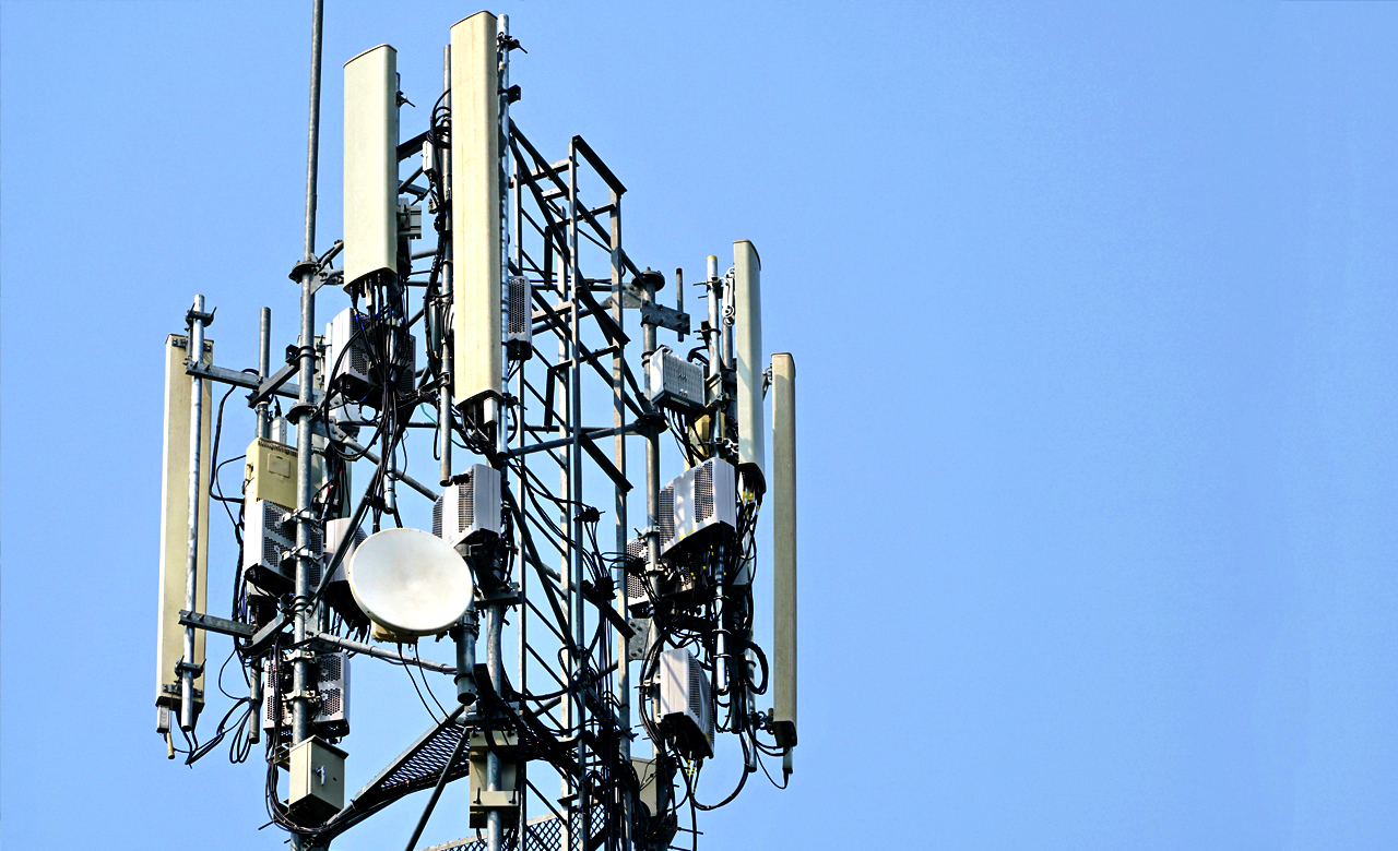
From an infrastructure point of view, 5G frequencies have a very short range and require a much denser network of site locations. Hence, more towers with smaller coverage footprints are required for the rollout of 5G.
GIS enables a detailed analysis of construction materials used in nearby buildings, rooftops and street furniture, as well as vegetation types. These maps will be critical enablers for planners to precisely select 5G antenna locations. Accurate planning will also assist in avoiding obstructions to radio waves and ensuring optimal 5G coverage.
Enabling 5G
 RMSI has been working with the telecom industry for over two decades providing solutions in the fixed wired and wireless domains.
Globally, we have a ready catalog of off-the-shelf geo-data products for over 5000 cities across 150 countries. Through these solutions, RMSI enables Communication Service Providers (CSPs) to seamlessly migrate to the 5G technology.
We are also supporting key CSPs in Australia, America, and UK with fiber network planning and design services.
In our next blog series on the 5G technology trends, we will share more insights on the impact 5G will have, on a global scale.