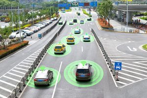
In the last ten years, Industry 4.0 has not only become tangible but also a material reality. Despite having multiple challenges, digitalization in the industry holds enormous opportunities. Whether it is the implementation of a 5G network, enabling self-driving vehicles or creating an autonomous world, all of these require a precise and accurate understanding of the real-world environment.
From static definition maps to dynamic high definition self-healing maps, there has been a paradigm shift in the way maps are developed. This transition has been enabled by technologies such as Artificial Intelligence and Machine Learning.
 THE TRANSITION OF MAPS
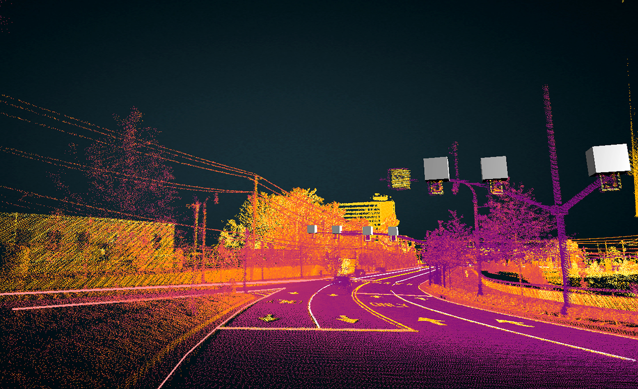
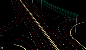
Maps were originally made for human consumption, however, with the advancements in autonomy, now they are made for machines. Self-driving cars use High Definition (HD) maps, which are 1:1 real-world comprehensive maps. These maps have a cm level accuracy and impart precise location intelligence to vehicles, hence, manoeuvring them around the 3D space and making the right decision.
HD maps are created using a combination of high-resolution aerial imagery and sensors such as cameras, LiDAR, GPS, IMU, and radars. These immersive maps comprise of detailed road features such as driving lanes, curbs, parking areas, intersection areas, barriers, closures, and street furniture with high precision and accuracy at a cm level.
HD MAPS FOR A SELF-DRIVING CAR HAVE THE FOLLOWING COMPONENTS:
- Perception System: situation awareness and visualization similar to human eyes. For example, watching a pedestrian, crossing the road or identifying the height of a curb.
- Mapping and Localization: refers to the precise location of the surrounding objects on the road with respect to the location of the vehicle. E.g., how far is the road barrier from the car and its location on the road.
- Planning & Control: It is used for decision making. E.g., based on the inputs from the perception, mapping and localization system, the vehicle makes a decision to slow down while nearing an exit, accelerate or stop at the intersection while analyzing the traffic sign.
 CHALLENGES WITH HD MAPS
With the high complexity of the environment and its dynamic nature, the creation of these high definition maps is a big challenge for the industry. The need for high precision, high data volume generated by sensors (terabytes per-day), global coverage and constant map updation in real-time are some of the key challenges in self-driving cars. There are other overarching issues related to data security, privacy, data ownership, legislation, and insurance liability which impede its progress.
 RMSI IN MAPPING
RMSI has been mapping the world for more than two decades, working with the majority of the top global map data providers. We offer end to end, AI-enabled HD mapping solutions, from specifications creation to the final product, to our clients globally. RMSI has its proprietary AI-powered suite of integrated tools for auto labeling and annotation services which help in the development of HD maps at scale.
In our next blog series on mapping, we will be sharing key industry trends and the upcoming technologies being leveraged for the mapping industry.