Are you looking to build a brilliant, reliable, high-speed, nextgen network? “Every minute you spend in planning saves 10 minutes in execution; this gives you a 1,000 percent return on energy” – Brian Tracy
While planning nextgen telecom networks, a telco needs to have innovative designs along with detailed planning and validation that can be critical to achieving higher levels of efficiencies.
Producing quality designs reduces the need for construction variations and lowers the risk of building a poor performing network. However, a key challenge in the network planning and design process is the disconnect between geospatial network records and the reality of the physical network.
 To address this issue, the design process generally starts with the creation of a desktop design based on available geospatial network records and images from web mapping services. This preliminary desktop design is assigned to a field team for the completion of a network verification survey to validate its accuracy and constructability. The outcomes from the field survey are then returned to the designer for the production of the final design. This process is effective, but costly in terms of the time required to produce an outcome.
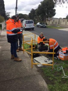
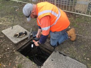
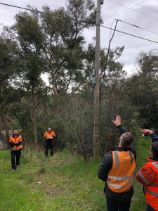
The field survey process also presents its own set of challenges. Generally, survey teams are sent out with hardcopy drawings of preliminary designs. They then proceed to inspect the network, recording handwritten notes on drawings and capturing photos on a phone as they go. Finally, once the survey is complete, the outcomes need to be collated and transformed into something useful for a designer to interpret.
With an extensive working experience with global telco’s, RMSI has developed a solution that addresses the key industry challenges of manual network design. To simplify and expedite this manual process, RMSI has developed a new Network Survey Field Services application to help our field teams embrace the power of mobility.
How does it work?
Our Field Services application allows preliminary design plans to be loaded into the system with records created for each asset in the network that needs to be surveyed. Fully customizable site survey forms also ensure that data captured aligns with the specific information requirements for individual projects.
 Surveyors and civil crews can now view their assigned jobs on a mobile device with a geo-location feature that drops pins for each network asset on an interactive map. They can record their findings digitally as they progress through their day via pre-set forms containing a mixture of multiple choices, number, and free text fields. Survey photos are also captured on the device and loaded directly into the system. The digital format sets the standard for information captured and provides a substantial improvement in data quality, which in turn offers a significant reduction in the likelihood of a revisit being required.
 As a cloud-based solution, the application provides live data synchronization, enabling designers and surveyors to review content simultaneously. This allows for timely discussions to occur and preferred solutions to be identified during the survey. The real-time data updates also mean our network designers can begin the process of finalizing the design deliverables progressively, as the surveys are still being completed in the field.
So what’s the final result? Greater accuracy, improved delivery timeframes and superior service to our clients.
In addition to the survey workflow, there are some built-in bonuses to improve the overall management of our field services. Assignment and tracking of mandatory training and inductions are managed through the application, including copies of certifications. It also includes a document library for technical, process and HSE&Q documents (such as SWMS / HSE Management Plans, etc.) all readily accessible and on-hand for our field staff to use on-site.
The move to a digitized solution has meant significant reductions in paper usage, making it a win for us, a win for our clients and a win for the environment too!