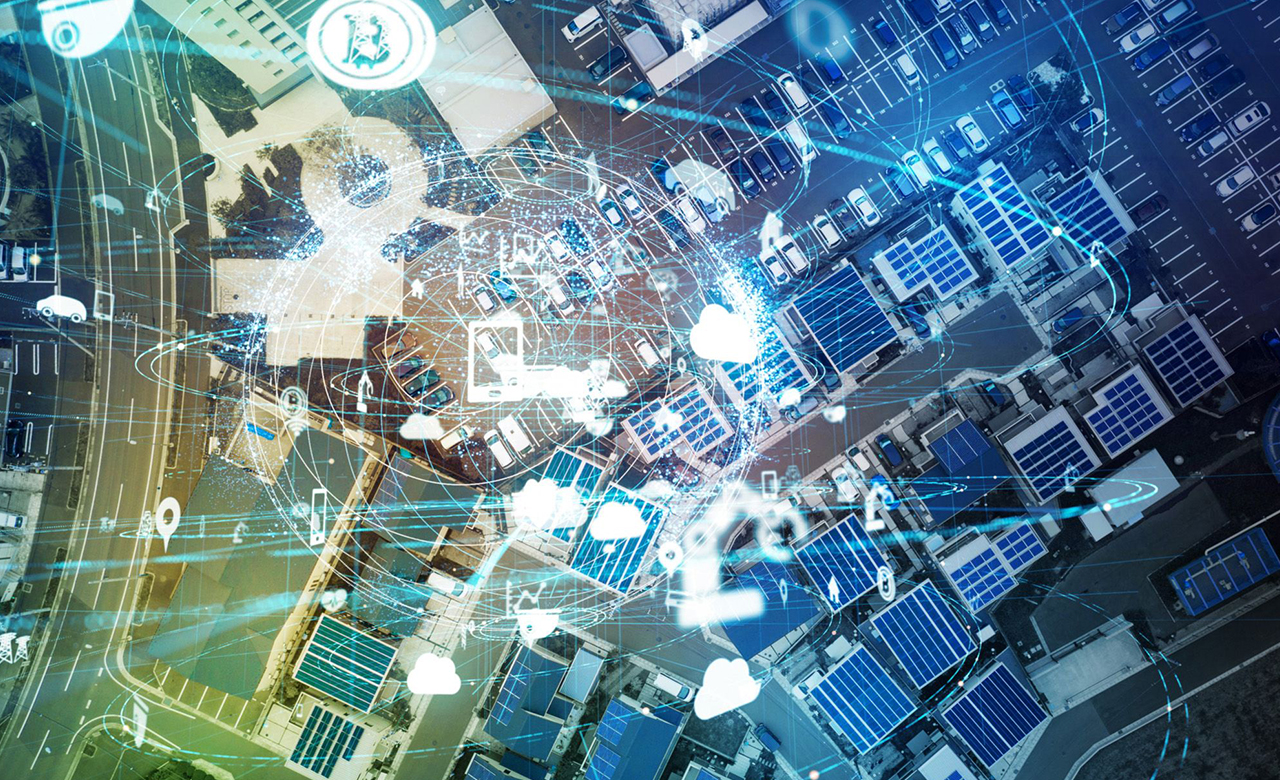
The data ecosystem is becoming more complex with every passing day. Studies show that 80% of the data we consider has a geospatial element of some form. This has increased the relevance of the ‘location’ by allowing us to analyze data as spatial elements and organize layers of information into visualizations using maps and 3D scenes.
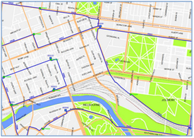
A geographic information system (GIS) is a framework for gathering, managing, and analyzing spatial and non-spatial data. It integrates various data layers using a spatial location that facilitates us to understand patterns, relationships, and geographic context by visualizing in map forms. Thus, in simple words, we can say that GIS connects data to maps. Maps are the core to GIS and help in all kinds of decision making.
Geographic Information Systems (GIS) have several applications across industries, and advances in technology have dramatically increased the value and application of GIS data. For any business or industry, geographic information systems are powerful decision-making tools as they enable the analysis of environmental, demographic, and topographic data.
Let’s take a look at some of the industries where GIS is being used.
Industries that work efficiently using GIS Technology
Telecommunications
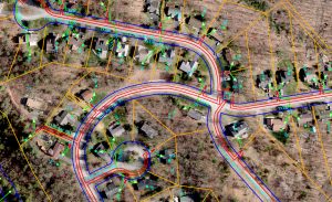
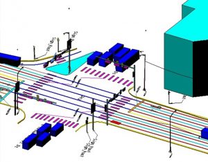
Telecom allows us to communicate through the network. This industry provides both wired and wireless connections, it is necessary to plan the network for a geographical location and its possible course of action. GIS paves the path for analyzing the working condition of the particular network.
GIS data facilitates decision-making like where network components should be placed and how they should be connected, what size components to use and how to create a strategy on meeting capacity requirements and maintaining network reliability. GIS design and analysis helps in the optimization of the network’s performance by maximizing the use of existing infrastructure. Thus, minimizes the cost of deployment.
GIS-based telecom asset management applications are also useful in efficient fault management, exacting network routing information, and quick asset maintenance and management.
Utilities
 GIS is being used in different utility sectors like Water, Sewage, Power Lines, Telecommunication, and Gas for infrastructure and asset management. The location intelligence from GIS helps locate assets such as transmission lines, substations, vehicles, and customers. Utilities leverage GIS for multiple purposes like analyzing usage patterns, pinpointing problems, risks like power outages, having oversight about energy consumption, managing utility asset repairs, finding potential threats to the power grid, and managing field operations. In addition, GIS maps of consumer demography and growth patterns helps in predicting future needs. Customized GIS applications facilitate in visualizing the utility network in 3D with the capability to plan and design new utilities through user defined simulations. GIS applications are also integrated with third party hardware and software like firmware, ENMS, CRM, Enterprise Asset Management, and SCADA.
Mining
The mining industry utilizes GIS to target mineral exploration, track the changes, and assess the environmental impacts happening in that area, especially during mining. Live tracking of underground conditions helps to minimize the hazard risk for the working people by getting prior knowledge about the present condition of the ground and changes happening there. GIS also helps in gauge the impact of mining operations in nearby communities like visual obstruction can be determined without adversely affecting the Operations and alleviating concerns of nearby residents.
Contemporary trends in the GIS world
Artificial Intelligence (AI) is one of the fastest-growing trends in Geospatial technology. GIS incorporates AI functions as spatial data processing and analyzing algorithms. As a result, the map can be visualized using AI more effectively. Machine learning and deep learning are also the trends that belong to AI. BIM (Building Information Modeling) has a significant role in digital construction, it tries to portray the planning of a building model. Virtual Reality (VR) and Augmented Reality (AR) combined with GIS also improve the representation of real-world features.
3D Modeling extensively requires high precision data (height, depth, texture and length). This data is built using LiDAR technology, which can be developed using drones equipped with aerial LiDAR devices, which is far more cost-effective than ground surveys and aerial surveys. In addition, virtual reality is one of the most prominent uses of 3D models, as it allows the creation of digital replicas of the real world.
CyberGIS is one of the most recent trends in GIS to detect cyber-attacks at different levels, and it ensures cyber security. It is the combination of cyber infrastructure, geographic information science, spatial analysis, and modeling. These are all the latest trends in GIS that improve both the industry and lifestyle in the modern world.
Liberalization of India’s GIS & Drone Policy
Survey of India, Department of science and technology announced the new India GIS policy on 15th February 2021 to achieve the vision of USD five trillion-dollar independent economy. The de-regularization of geospatial data policy was long due and is critical to unlock the socio-economic opportunities necessary for sustainable development. The new policy will not only spur innovation but open several avenues for sectorial developmental initiatives.

Under the new guidelines, there will be no requirement for prior approvals, security clearances, licenses, for acquisition & production of geospatial data and geospatial data services, including maps. This will lead to the development of Made-in-India solutions by leveraging modern geospatial technologies and enabling Indian companies to compete on a global platform.
A liberalized policy will go a long way in enabling development of innovative solutions for several sectors and leading the vision of digital India. Many sectors such as agriculture, infrastructure, e-commerce, insurance, minerals, healthcare and mining will be positively impacted.
Additionally, the notification on the Drone Rules 2021 is also another positive step as it will further offer easier access to more ‘’green zones’’ in the country to create high resolution maps.